If you’re taking the time to explore South Lake Tahoe and want a full day of stunning views, there’s no better way than a Lake Tahoe drive exploring the entire lake. You can easily do this in half a day, starting with breakfast in South Lake Tahoe and ending with lunch near Incline Village.
I highly suggest you take the route that goes clockwise around the lake. Most pull-offs for the scenic viewpoints are on the right, so driving the opposite direction can be difficult and sometimes dangerous. Make sure you have money for parking fees, since many viewpoints on the California side are in state parks with fees (you can find a wealth of information here). Some have their own fees for that spot, while others have day passes that include multiple parking areas. Always check!
Starting from the South Shore & Heavenly Valley
From South Lake Tahoe, you can easily walk right up to the shore to catch the views in numerous areas in and around Heavenly Valley (including the pier at Zephyr Cove Resort). These spots are some of the lowest and closest to the water that you’ll find outside of North Lake Tahoe. The east and west points are mostly elevated and along cliffs, so use extreme caution!
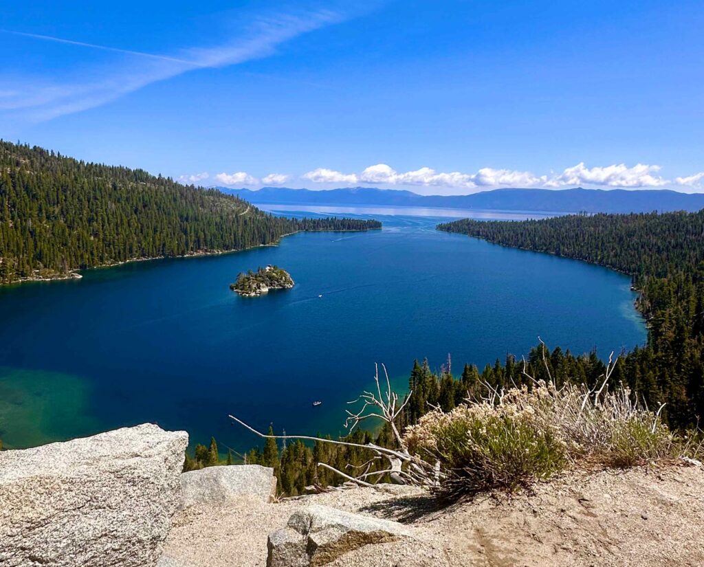
Inspiration Point around Emerald Bay is a MUST-STOP spot for stunning lake views. This area tends to be pretty crowded, and it’s easy to see why. The views are absolutely amazing, and the water looks so blue from here! Further down is another viewpoint, Emerald Bay Vista, so if Inspiration Point is too difficult, you can try that for a similar view.
Lake Tahoe Drive: Emerald Bay & State Parks
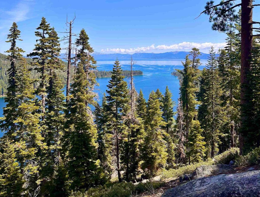
From here, the next major points are D.L. Bliss State Park and Rubicon Bay. It was pretty busy when we visited (it was a weekend), so there was no parking at a couple of these spots; however, the scenic views along the drive were plenty for us and worth avoiding the crowds. There are several trails around the area here as well, including Rubicon Peak and Meeks Bay Trail. Ed Z’berg Sugar Pine Point State Park is also along the way as you head north along the west shore of Lake Tahoe.
Through Tahoe City and the North Shore
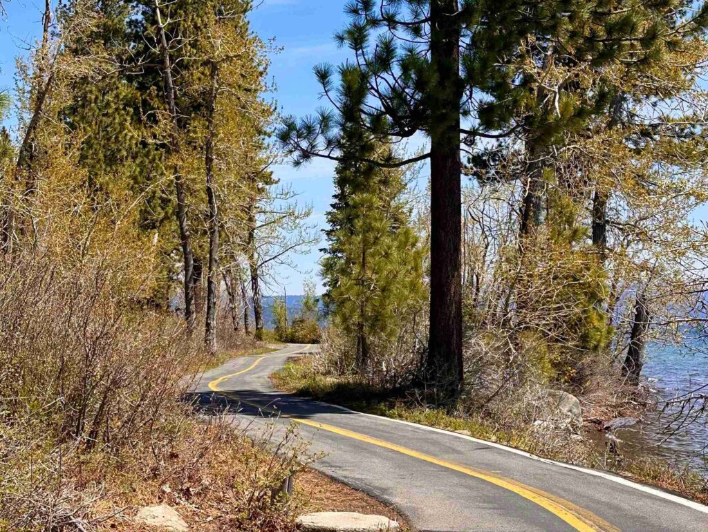
Next, we stopped for a quick view between Tahoe Pines and Eagle Rock Hiking Trail. The water from this point looks completely different from the vivid blue spotted at Emerald Bay, but the views of the clouds and the mountains in the distance were still quite lovely. Be warned—up to around this point, the road is quite windy and also very steep. At one point on the way into Emerald Bay, we were on a one-lane road with cliffs on both sides. Not for the faint of heart!
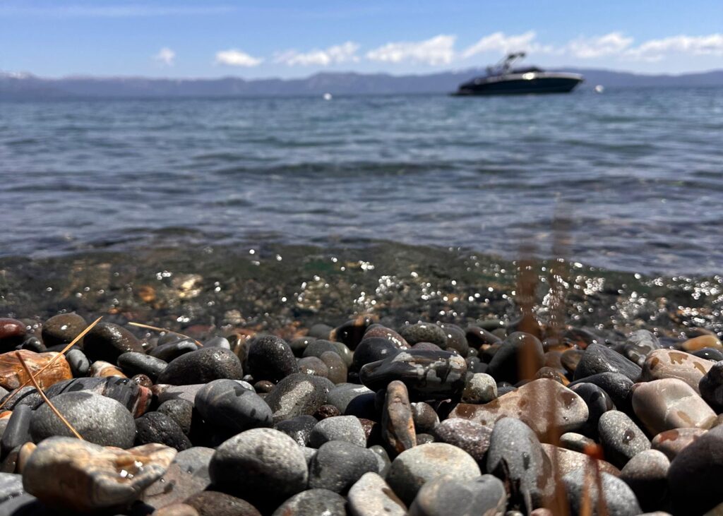
We made another stop for photos in Hurricane Bay and admired the pebble beaches before stopping in Tahoe City to stretch our legs. It’s a great spot to admire all the bears (you’ll see what I mean when you get there) and get some fresh air after spending a couple of hours in the car. Once you pass Tahoe City, you start to enter the north part of Lake Tahoe, where you’ll find Tahoe Vista, Crystal Bay (the northern part of the stateline), and Incline Village. Stop around here for a bite, because after Incline Village, there’s not much until you head back to South Lake Tahoe.
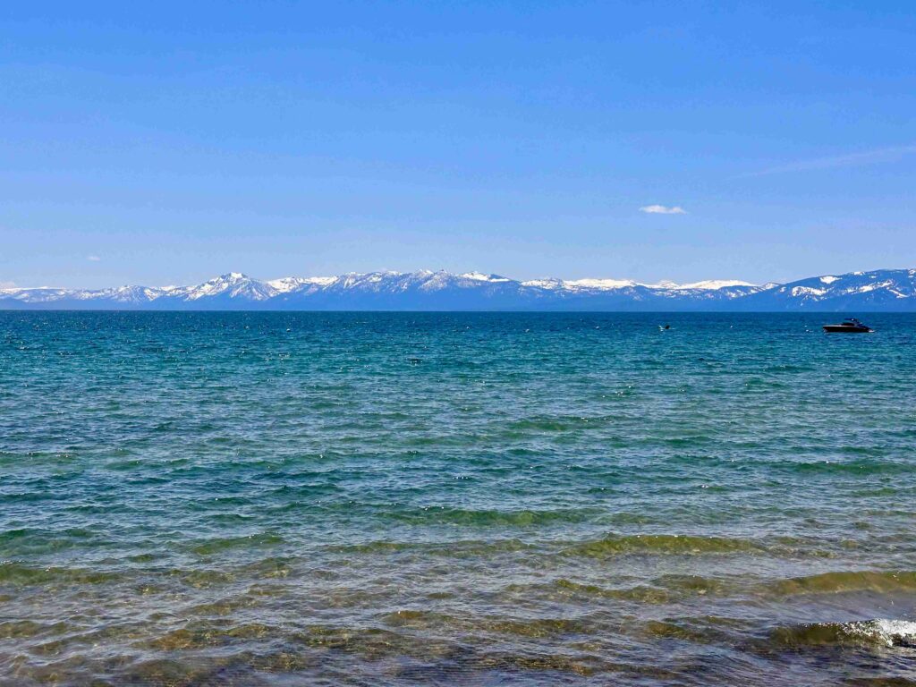
Down the Nevada East Shore Back to South Tahoe
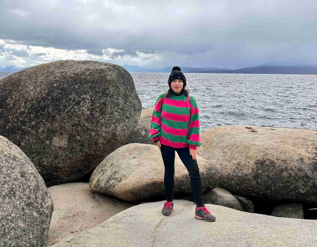
The vistas on this side are all in Nevada, and though Sand Harbor State Park vistas and Cave Rock – Lake Tahoe Nevada State Park charge a fee, many of the vistas here have no parking fee. The Nevada side was also far less crowded (although the weather had taken a turn, so that could have been why). Memorial Point is a lovely stop for the smooth, large rocks that dot the hill along the water. Just north is Granite Cove, and just south are Mountain View, Emerald Cove, and Logan Shoals Vista. As you go further south, you’ll start to find several beaches on the way back to South Lake Tahoe.